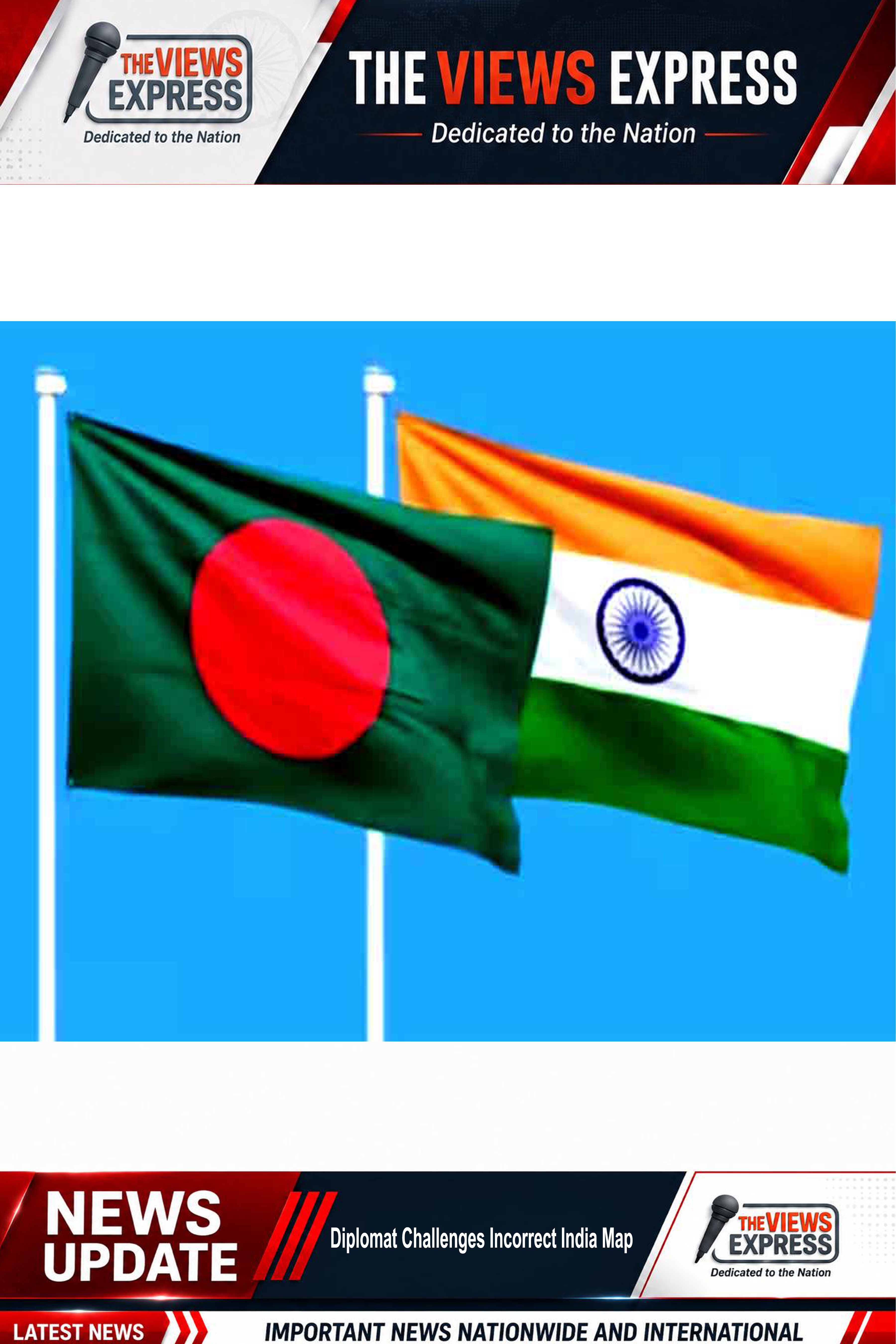

A discussion on regional cooperation and the future of the South Asian Association for Regional Cooperation (SAARC) in Dhaka witnessed an unexpected moment after a young diplomat raised objections to the map displayed during the event.
The programme featured former Bangladesh High Commissioner to India Tariq Karim as one of the keynote speakers. While he was addressing issues related to regional unity, dialogue, and the need to revive SAARC's role in South Asia, a map shown during the presentation drew criticism from a participant.
The young diplomat interrupted the proceedings, stating that the map incorrectly represented India's territorial boundaries. She pointed out that Jammu and Kashmir is an integral part of India and should be reflected accurately in any official or public presentation.
Responding to the objection, Tariq Karim clarified that the map used in the presentation was only symbolic and was not intended to depict actual international borders. He said the illustration was designed for thematic purposes rather than as a geopolitical reference.
The brief exchange attracted the attention of those attending the discussion and sparked conversations about the importance of using accurate maps during international conferences and academic events. Diplomatic gatherings often require careful handling of territorial representations, as such issues can quickly become sensitive and politically significant.
The incident also highlighted how territorial integrity remains a closely watched subject in regional forums involving South Asian countries. Although the discussion continued without further interruption, the exchange underscored the need for precision in visual materials used at international events, particularly when they involve disputed or politically sensitive regions.