
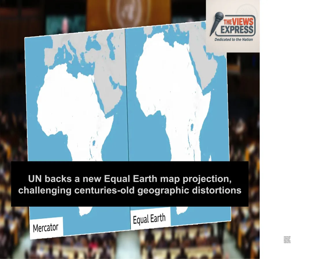
The United Nations General Assembly has backed a proposal promoting the use of more geographically accurate world maps, challenging the Mercator projection that has been widely used for nearly 500 years.
The resolution, reportedly supported by India and 163 other countries, favours maps that better represent the relative size of continents. The United States was the only country to vote against the proposal, while six countries abstained.
The initiative, known as “Correct the Map”, was introduced by Togo, an African nation. It highlights concerns that the Mercator projection significantly distorts the relative size of landmasses, particularly those located near the poles.
Created by Flemish-German cartographer Gerardus Mercator in 1569, the Mercator projection was designed primarily to preserve directions and angles, making it particularly useful for navigation. However, because it represents the three-dimensional Earth on a two-dimensional surface, it makes areas closer to the poles appear disproportionately large.
Greenland, for example, can appear comparable in size to Africa on conventional Mercator maps, although Africa is actually around 14 times larger. By contrast, the Equal Earth projection aims to preserve the relative surface areas of continents more accurately.
Cartographer Bojan Šavrič and his collaborators developed the Equal Earth projection to address such distortions. The projection gives a more realistic visual representation of Africa, South America, Southeast Asia and parts of Oceania.
However, the UN resolution does not make adoption of Equal Earth mandatory for member states. Washington criticised the initiative, arguing that attention should remain focused on issues such as peace, prosperity and international cooperation.