
A powerful 7.7-magnitude earthquake struck Indonesia early Saturday, shaking parts of the Flores region and triggering temporary tsunami warnings across several coastal provinces.
The earthquake occurred at around 5:58 a.m. local time, according to the US Geological Survey. Its epicentre was located about 68 kilometres north-northwest of Ende city in East Nusa Tenggara province, at a depth of approximately 10 kilometres.
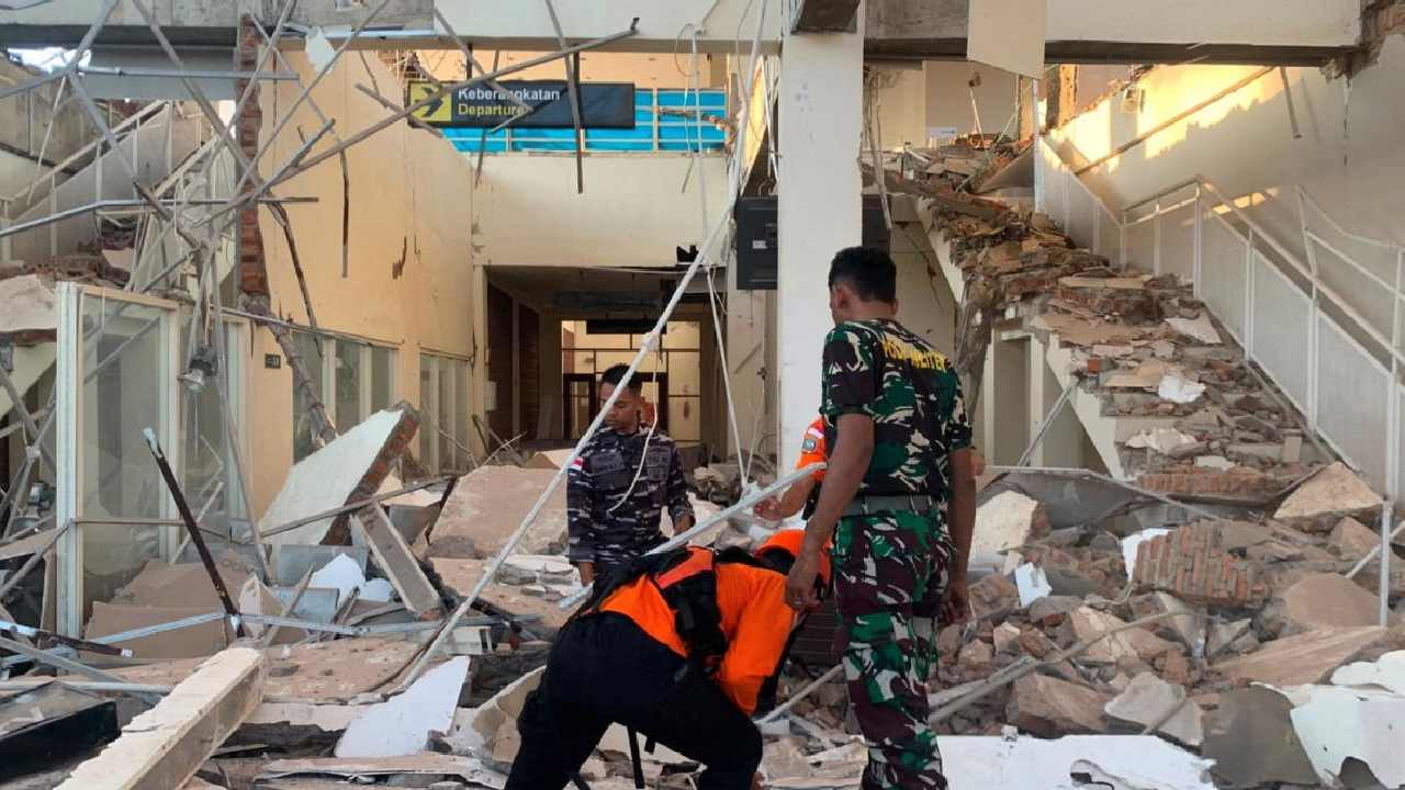
Several buildings were reportedly damaged or collapsed following the strong tremor, while rescue operations were launched in affected areas. At least two people were reported dead, although the full extent of casualties and property damage remained unclear.
The main earthquake was followed by several aftershocks, adding to the fear among residents and tourists. People rushed out of buildings and gathered in open areas as the shaking continued. Some residents moved away from coastal zones amid concerns about possible tsunami waves.
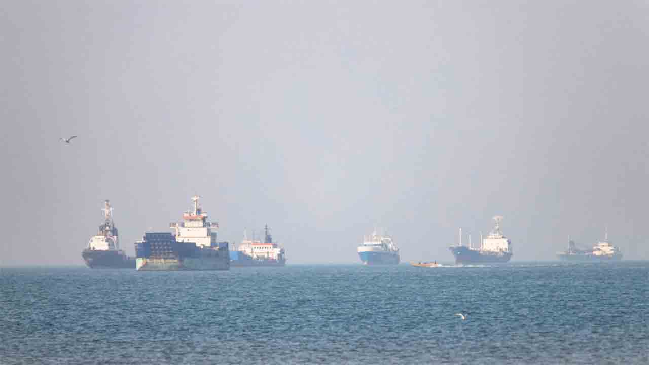
Indonesia’s meteorological, climatological and geophysical agency issued tsunami warnings for parts of East and West Nusa Tenggara, South Sulawesi and Southeast Sulawesi. Residents in vulnerable coastal areas were advised to move to higher ground and stay away from the shoreline. The tsunami warning was reportedly withdrawn several hours later after conditions were assessed.
A local resident said they witnessed the waiting room at the Pelni port terminal collapse during the earthquake.
Indonesia is highly vulnerable to earthquakes because much of the country lies along the Pacific “Ring of Fire”, an area known for intense seismic and volcanic activity.
The latest earthquake has renewed concerns in a country that has experienced devastating seismic disasters in the past, including the 1992 Flores earthquake, which killed more than 2,500 people.